As the world prepares for a third consecutive year of exceptional La Niña conditions, a new study reveals how our climate models could have missed this disaster “triple dip” effect.
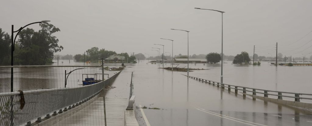
This is the first time in a century that La Niña has lasted this long, and its wrath is felt in southern Africa and South America in the form of drought, and in Australasia and Southeast Asia in the form of floods. .
Its conditions are also expected to bring a cool, wet winter to the Pacific Northwest and a hot, dry winter to the US Southwest.
La Niña is the somewhat neglected twin of El Niño, at least as far as our climate models are concerned. The Pacific Ocean naturally oscillates between El Niño and La Niña conditions, occurring once every two years.
Under what is considered under normal conditions, strong trade winds push the surface layer of the Pacific Ocean westward, dragging a warm layer of water like a finger dragging a page in a book. Deeper, cooler water rises to replace it near the Central American coast, setting the temperature and humidity conditions for local weather.
El Niño occurs when the trade winds weaken, leaving the cold waters of the eastern Pacific trapped under a warm surface. The result is less rain over places like Australia and more precipitation in the southeastern United States. La Niña occurs when the trade winds strengthen, exposing more of this cool water. As a result, the jet stream overhead is pushed north, pushing the rains that would normally fall over the southern United States much farther north.
With global warming generally increasing sea surface temperatures, El Niño and La Niña are expected to become more frequent and severe, with extreme events occurring once per decade instead of once every twenty years.
So why is La Niña running the show right now? While climate models accurately paint a big picture of future trends, predicting the precise swing of the pendulum takes work.
“Climate models always get reasonable answers for average warming,” said University of Washington atmospheric scientist Robert Wills, “but there’s something about the regional variation, the spatial pattern of warming in the tropical oceans, that’s wrong.”
Looking at El Niños and La Niñas since 1979, researchers found a discrepancy between real-world observations and 16 current climate patterns.
These models were unable to reproduce reality in the equatorial and mid-latitude oceans. Only one even came close at a distance.
As the climate crisis intensifies, sea surface temperatures appear to be on a general slope. Still, in the eastern Pacific and southern oceans, there is more cooling than expected.
“While skewed trends have already been identified in the equatorial Pacific, our work shows that skewed trends are a much more prevalent problem in climate models,” the authors explain. write.
Even though climate models can quite reliably reproduce observed trends in short-term sea surface temperature, something is clearly missing from the long-term picture.
Some studies suggest that a ten-year variation in Pacific conditions may explain the discrepancy. But even when this tilt took place two years ago, anomalies were still observed in the South Pacific.
There may be an overlooked natural variable in the Southern Ocean that spans decades.
Or maybe it is climate change.
UW researchers say their findings led them “to conclude that this pattern of trend deviations is extremely unlikely to result entirely from internal variability”.
There are several reasons why the cooling of the Southern Ocean could be due to escalating atmospheric temperatures forced by human emissions.
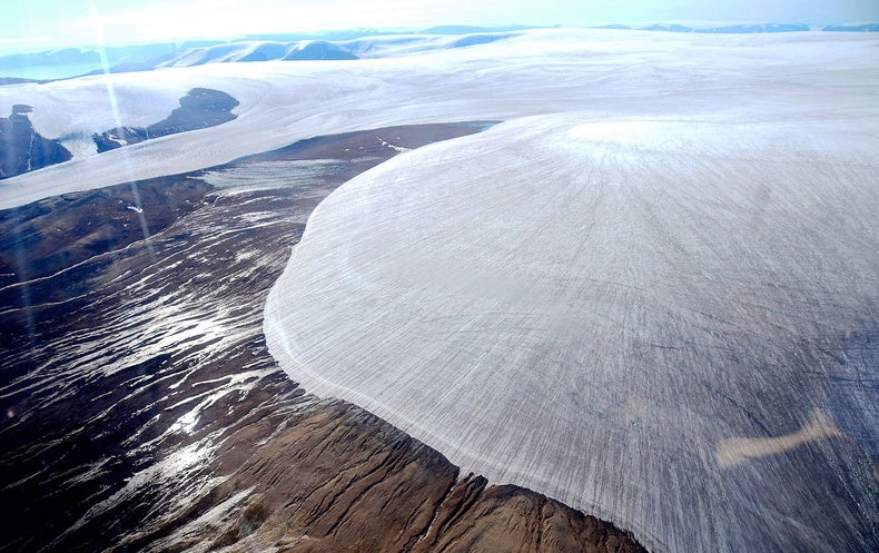
Melting sea ice is an option; another is a shift in surface winds due to greenhouse gases and changes ozone layer.
But these changes will likely only be temporary. In the long term, the eastern and southern Pacific oceans will eventually warm, say the UW researchers. And when they do, they could be even more vulnerable to the effects of climate change than other regions.
“A future shift to a warming pattern with more warming in the eastern equatorial Pacific would also lead to major changes in the Walker circulation and associated large-scale circulation and precipitation patterns,” the authors said. write.
Unless climatologists can figure out why sea surface warming is so delayed in the eastern Pacific and the Southern Ocean, the team says we will be left “with a huge source of uncertainty in the multidecadal projections of regional and global climate”.
For now, scientists do not know when La Niña will lose the upper hand. Climate change could continue to favor it for years to come.
The study was published in Geophysical Research Letters.